Services
Hydrographic Updates
Products
Indian Notices to Mariners

Welcome to Indian Naval Hydrographic Department
The Indian Naval Hydrographic Department (INHD) functions under the Chief Hydrographer to the Government of India and serves as the nodal agency for hydrographic surveys and nautical charting in India. In addition, the department conducts defence hydrographic survey critical to naval operations, submarine navigation and maritime domain awareness. INHD ensures safe navigation and international compliance through precise hydrographic data and modern survey practices.
What We Do
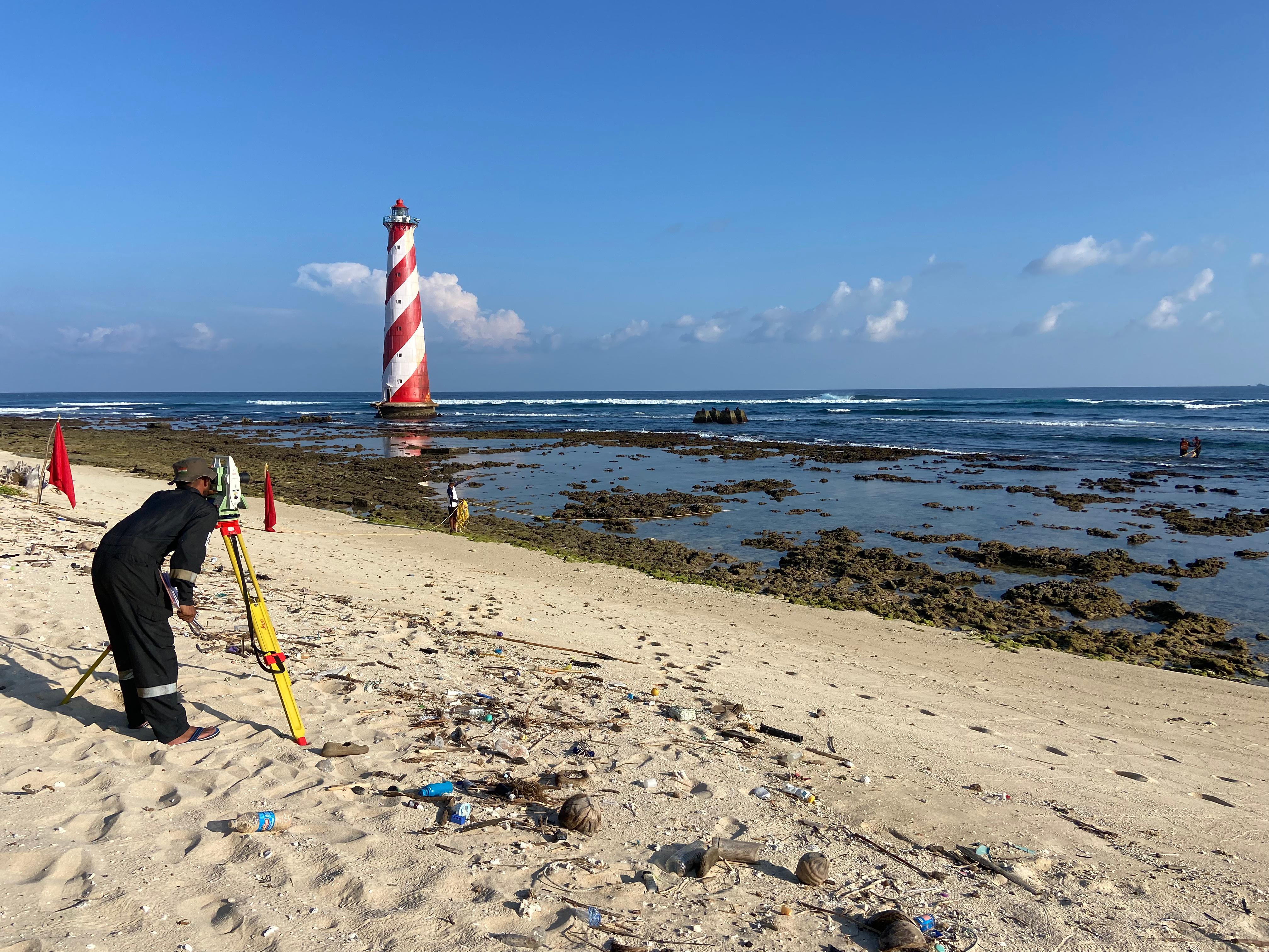
1. Hydrographic Surveys
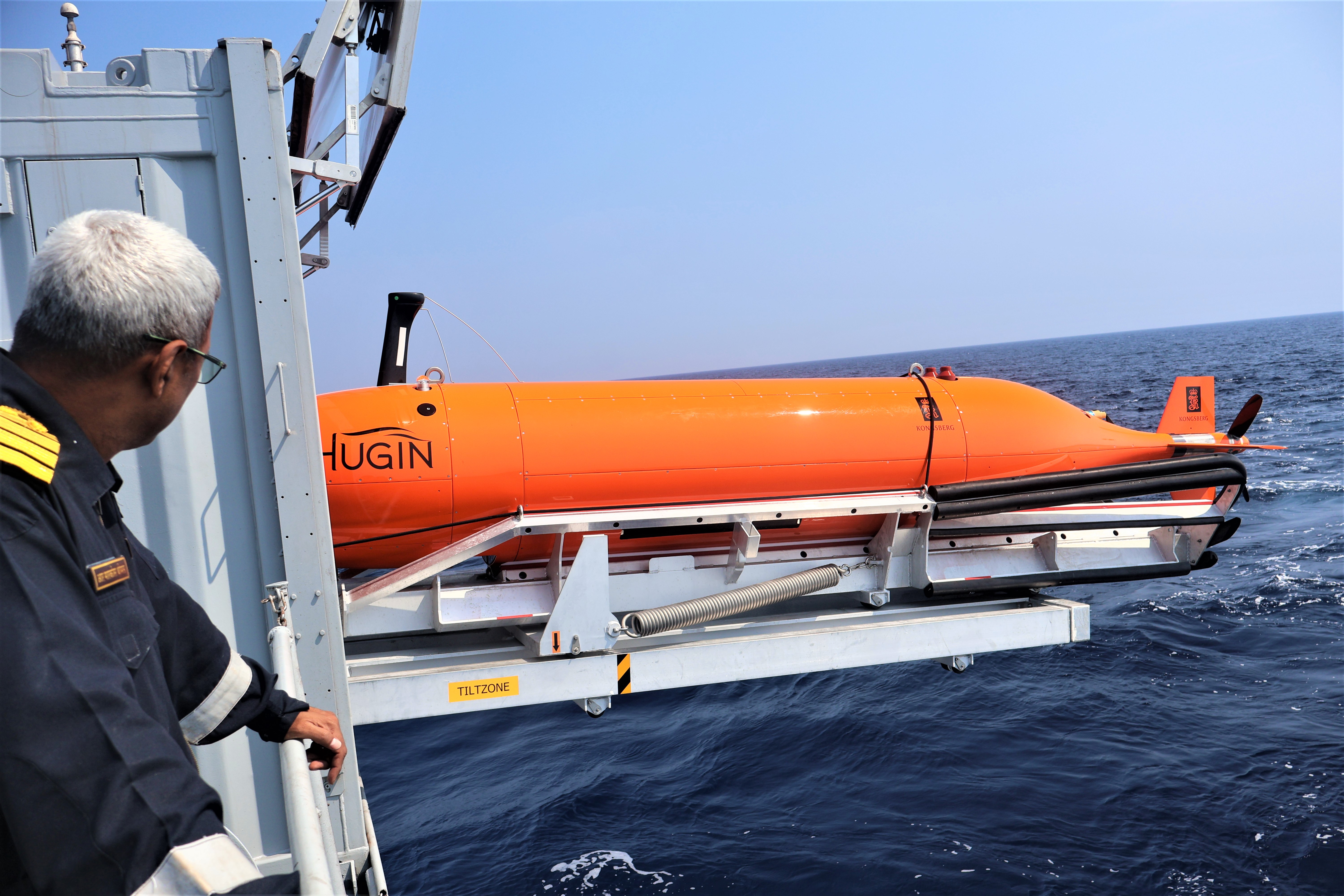
- Conduct hydrographic surveys including navigation, defence and specialised hydrographic surveys in compliance with International Hydrographic Organization (IHO) standards for Hydrographic surveying (S-44) using advanced, state-of-the-art systems.
2. Nautical Charting
- Produce and maintain official Paper Charts, Electronic Navigational Charts (ENCs) and nautical products for Indian waters and the Indian Ocean Region.
3. Maritime Safety Services
- Coordinate NAVAREA VIII warnings and NAVTEX services along the Indian coast for timely dissemination of maritime safety information to mariners.
4. Training & Capacity Building
- National Institute of Hydrography, Goa, an integral part of INHD, provides IHO recognised CAT ‘A’ and CAT ‘B’ hydrographic courses to Indian and international naval personnel from Friendly Foreign Countries as well as Civilian personnel from various Indian ports and maritime agencies.
5. Our Capability
- Fleet of eight indigenously built state-of-the-art Indian Naval Survey ships, five specialised Hydrographic Survey Units and two Naval Chart Depots.
- Dedicated hydrographic data processing and cartography infrastructure.
- IHO-compliant survey and chart production standards
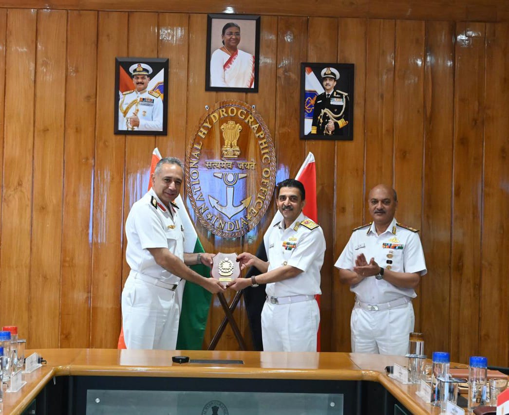
International Cooperation
- INHD actively supports friendly foreign nations through hydrographic training programmes, technical collaboration and MoUs. in alignment with the Prime Minister’s vision of MAHASAGAR. The Department facilitates overseas joint hydrographic surveys and regional capacity building initiatives. By prioritising collective responsibility and shared prosperity, INHD plays a pivotal role in strengthening hydrographic cooperation across the Indian Ocean Region, ensuring a safe, secure and sustainable maritime environment for all stakeholders.
Leadership
- The Chief Hydrographer performs a dual responsibiltiy, serving as the Chief hydrographer to the Govt of India, while simultaneously functioning as the Chief Hyrographer to the Indian Navy. The office of the Chief Hydrographer in addition to production of Nautical charts, ENCs and publications pertaining to Indian waters also discharges following prescribed mandates: -
- Coordinator for ‘Area J’ for INT charts, as designated by the IHO.
- Coordinator of NAVAREA VIII, as designated by the IHO.
- National Coordinator for NAVTEX services.
- Designated Class Authority for survey ships and units.
- Conduct Hydrographic Survey Committee.
- Member of 34 National Committees.
- Undertake hydrographic surveys supporting port development.
Origins of Hydrography in India
1. Hydrography in India has been quietly evolving over centuries alongwith growing maritime navigation. Early seafarers relied on trial and error to discover safe sea routes, carefully documenting their findings on guarded maps. Over time, this practice developed into the specialised scientific discipline of hydrography.
2. Hydrography in India was initiated during the colonial period, which gradually expanded in scope and capability. With India’s independence, the department emerged as distinct national entitiy for safety of mariners.
Establishment and Early Development (1874–1954)
3. The origins of the present-day INHD trace back to the Marine Survey of India, established in 1874 at Kolkata.
4. Post-independence, the department continued functioning under the Surveyor-in-Charge of the Marine Survey of India. On 01 June 1954, the organisation was relocated to Dehradun and renamed as ‘Naval Hydrographic Office’.
5. The Surveyor-in-Charge was designated as the Chief Hydrographer of the Navy, marking the formal institutionalisation of hydrographic leadership within the Indian Navy.
Designation as National Authority (1964–1997)
6. In recognition of expanding responsibilities and contribution in national development, the Chief Hydrographer was redesignated in 1964 as the Chief Hydrographer to the Government of India.
7. Acknowledging its growing national and international stature, the organisation was rechristened as the National Hydrographic Office in 1997, reinforcing its mandate as India’s central authority for hydrography and nautical chart publication.
National Role in Charting and Maritime Safety
8. Today, the National Hydrographic Office serves as the National Authority for the publication of nautical charts and publications.
9. The Department operates a fleet of eight modern survey vessels equipped with advanced hydrographic instruments, capable of collecting high-precision data in accordance with International Hydrographic Organization (IHO) standards.
10. All digital data undergoes rigorous quality control processes before being published for mariners in the form of official nautical charts and publications.
Expansion into International Cooperation
11. With the increasing global relevance of hydrography and its importance as force multiplier in maritime diplomacy, the role of INHD has expanded beyond national boundaries.
12. Memoranda of Understanding (MoUs) have been signed with friendly foreign nations for cooperation in hydrographic surveys and capacity building. Nations in the Indian Ocean Region collaborate for technical and training support from India, reflecting the department’s efforts for strenthening collective maritime safety and capability.

Vision
To ensure the availability of accurate, authentic and up-to-date hydrographic products and maritime safety services to promote safe navigation and support the maritime community across the region.
Mandate
The mandate of the Indian Naval Hydrographic Department is in accordance with international obligations and national legislation as enumerated in
- IMO – SOLAS (Chapter V)
- International Hydrographic Organization (IHO) convention on charting
- United Nations convention on Law of the Sea
- Government of India Business Rules, 1961
- The Merchant Shipping Act, 1958
- Regulations for the Indian Navy
Objectives
The INHD objectives are:-
- Carryout accurate hydrographic surveys.
Undertake systematic and precise hydrographic surveys in accordance with IHO promulgated standards. - Ensure availability of genuine, accurate and up-to-date navigational products to mariners.
Provide genuine, accurate and up-to-date nautical charts and publications to mariners. - Provide hydrographic services to National and International agencies and Public as well as Private sector
Deliver hydrographic services to national and international agencies, as well as public and private sector organisations. - Provide quality Capacity Building & Training.
Provide quality training in hydrography through structured and IHO recognised programmes. - Assured Quality & User Satisfaction.
Maintain rigorous quality control processes to ensure reliability and total user confidence in hydrographic products. - Regional cooperation
Extend cooperation in hydrography to maritime states in the region, strengthening collective maritime safety and capability.
S. No.
Equipment

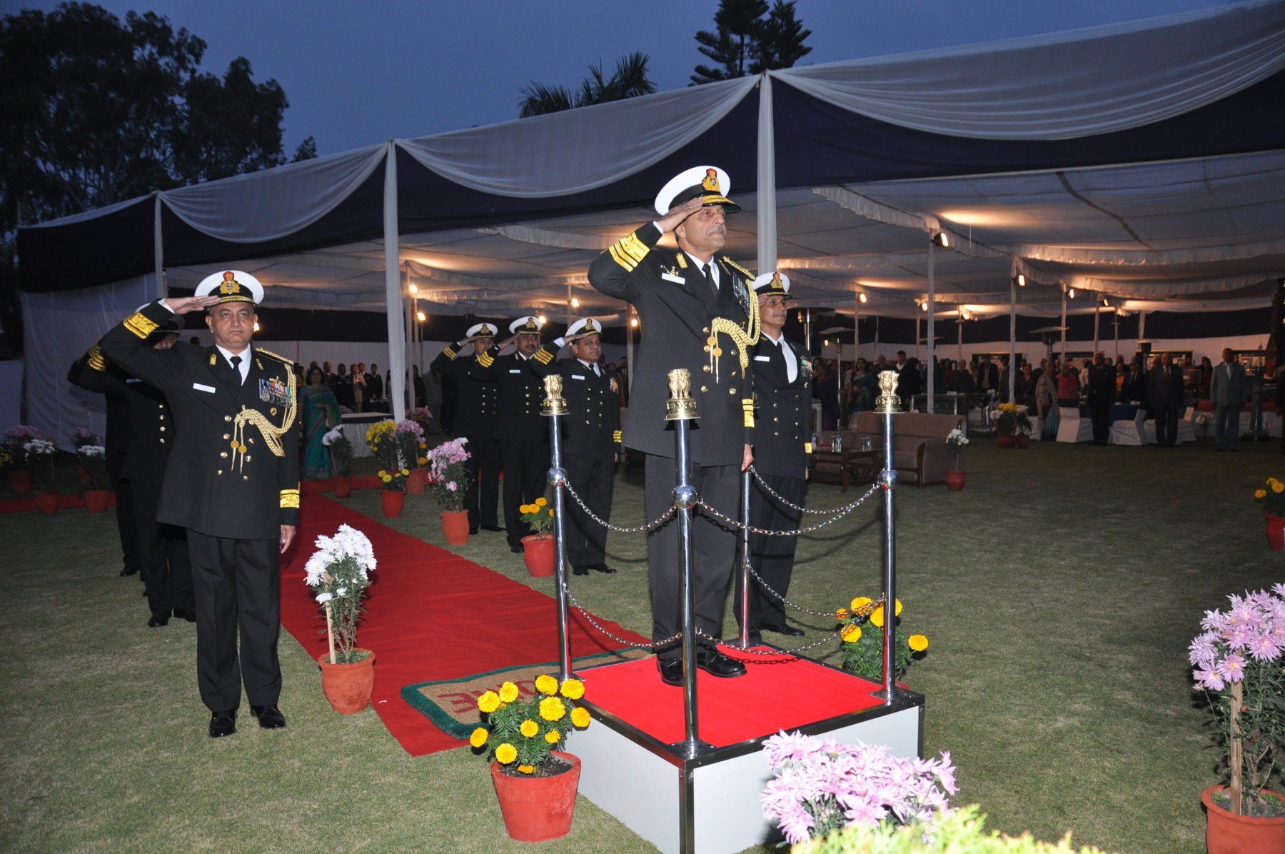
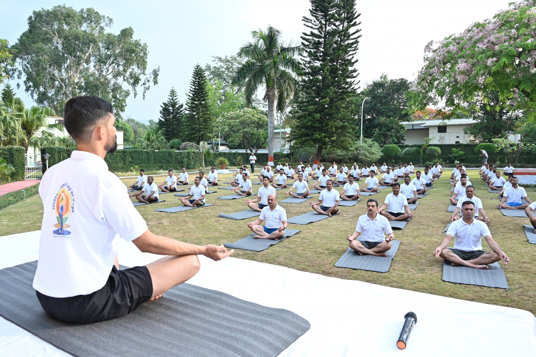
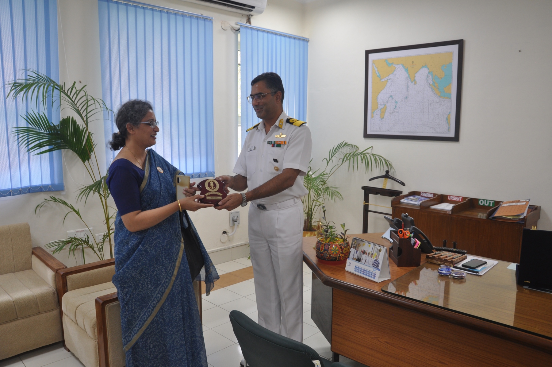
Gallery of Honourable Moments
A year-wise archive capturing the proud legacy, milestones, and service highlights of the National Hydrographic Office


-
Coordinator for ‘Area J’ for INT charts, as designated by the IHO.
-
Coordinator of NAVAREA VIII, as designated by the IHO.
-
National Coordinator for NAVTEX services.
-
Designated Class Authority for survey ships and units.
-
Conduct Hydrographic Survey Committee.
-
Member of 34 National Committees.
-
Undertake hydrographic surveys supporting port development.